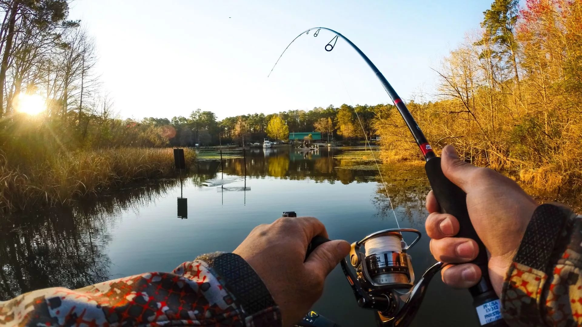

LAKE MAPS OLD AND NEW

Last week I wrote about advance technology and thought I would follow up with lake maps, old vs new. What did we do before lake maps and all our electronics? How did we know where to fish over 60 years ago? Before today’s fishing locators with built-in maps, I’m sure most of us were fishing in spots that held just a few or no fish. There is an old saying, 90% of the fish are in 10% of the water and this is TRUE.
Today, walk into any bait shop or outdoor store and you can usually find a lake map, a book of lake maps or hot spot maps for the lake you want to fish. Add Navionics SD cards for our locators with route guidance, transition areas, bottom structure, contour lines and way points to hot spots. All of these lake maps and SD cards have definitely helped anglers locate fish. But years ago, we didn’t have this great information at our fingertips.

Years ago, some fishing spots were a given. Like lily pads for Bluegills, docks for Bass and we found weed beds where Perch and Northern pike are swimming. Or if you knew an area with rocks, you probably caught a few Walleyes. Then the fallen trees in the water or stick ups usually held some Crappies.
When fishing those downed trees, one trick was to look at the heights of the surrounding trees still on shore and you could guess where the depth (top) of that tree was in the lake.
A few old timers gave me hand drawn maps of a few lakes (insert) on the Cisco Chain that I still have today. I’m here to tell you, if you compare a new lake map of West Bay on the Cisco Chain with the one posted here, there pretty close to today’s hot spot maps.
As I wrote last week, I remember old guides explaining depth by rods when I was young. Back then I had one rod (YES ONLY ONE ROD) compared to the amount I have today. That rod was 6 foot long, so with your bait on top of the water, you counted the number of times you raised and lowered the rod until the bait stopped sinking. So, two rods would be 12 feet deep and so on.
Without lake maps, we were given fishing spots by landmarks too. Position your boat 25 feet from shore between the big tree root on the west shoreline and the green swim platform. Or line up your boat with the blue house and the flagpole on the north end of the lake. Those spots worked until the people moved or removed the swim platform. And most of you know, just a few feet can make a difference.
I suppose it was kind of fun exploring lakes to find fish back then. When you found a good fishing spot you felt like you achieved something and then kept that information to yourself. But I will be the first one to admit, I catch more fish today from way points I have added. I think about this at times when I’m boating to a certain spot and start looking at my locator. I know the depth, where the weed line starts or determine the type of bottom (hard/soft) by color on the locator.
I never thought how much we depend on our electronics today until I started writing this article. When my family started vacationing in the Northwoods in the early 1960s, my father got to know local guides that took us fishing and we always came back with fish. At the time, I’m sure dad never gave it a thought about how they knew where to fish or how deep we were fishing either.
Today, I have so much respect for those old fishing guides. So, the next time you’re looking at your locator to find that honey hole, think about those old guides that made it possible for clients to take fish back home.
I will say that many of us still use landmarks to share spots.